
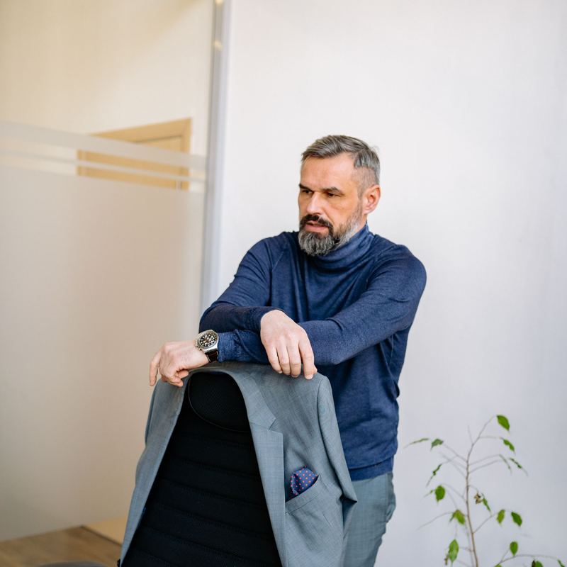
Cem Arıkan
General Manager · Director of Operations
From field to data, from data to decision
A licensed UAS operator running mapping, thermal inspection, agriculture and imaging operations across Türkiye since 2017.
Kartalay Aerial Technologies was founded in Eskişehir in 2017 by aviation engineers and survey engineers. Our goal was to turn unmanned aircraft from a “camera tool” into a measurable, repeatable and auditable data production line. Today we work across Türkiye with 34 licensed remote pilots, a fleet of 22 aircraft and five operations bases.
We provide mapping and photogrammetry, LiDAR and 3D modelling, thermal inspection of solar plants and industrial facilities, close-range inspection of towers and bridges, agricultural spraying and cinema-grade aerial filming. Every job moves through scoping, flight planning, ground control, processing and a quality report.
Our Eskişehir headquarters hosts processing servers, a calibration lab and a maintenance workshop. Bases in Konya, İzmir, Antalya and İstanbul put crew and aircraft on site within 48 hours. All operations are covered by mandatory liability insurance.
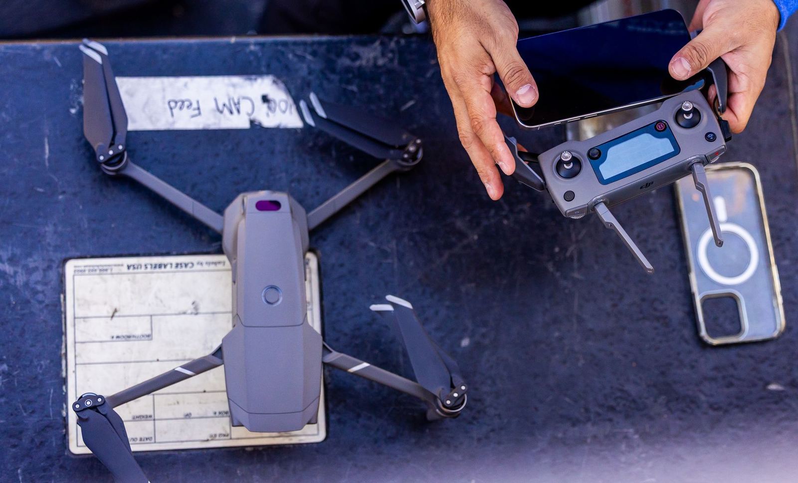
We handle flight permits, airspace coordination and insurance.
Every mapping job is verified with independent check points.
Temperature-measurable thermal imagery, not just a colour palette.
Findings, coordinates, photos and recommended actions in a single PDF.
Crew and aircraft on site anywhere in Türkiye within 48 hours.
Encrypted storage, GDPR/KVKK-aligned processing and per-project access.
General Manager · Director of Operations

Head of Photogrammetry & Geodesy
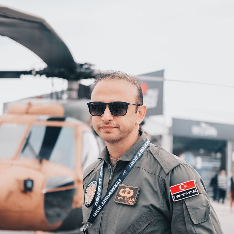
Chief Pilot · Flight Safety Officer

Agronomist · Precision Agriculture Lead
Share the area, objective and timeline and an engineer will return within 24 hours with scope and pricing.