
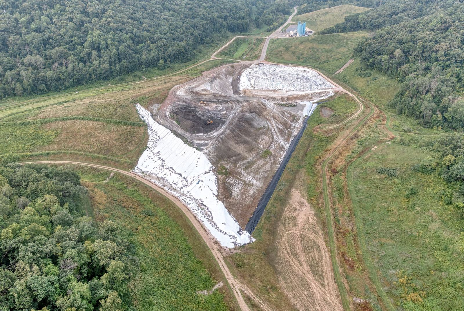
01Orthophoto, DSM/DTM and vector deliverables
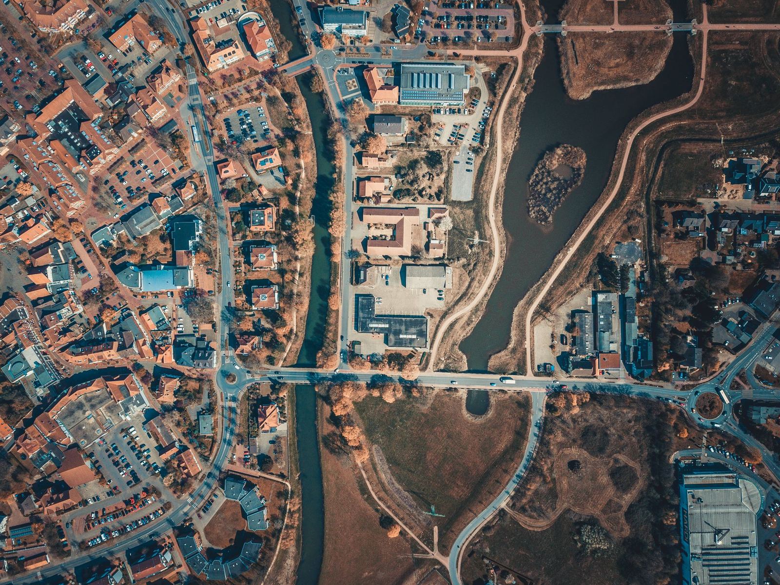
Mapping & Photogrammetry
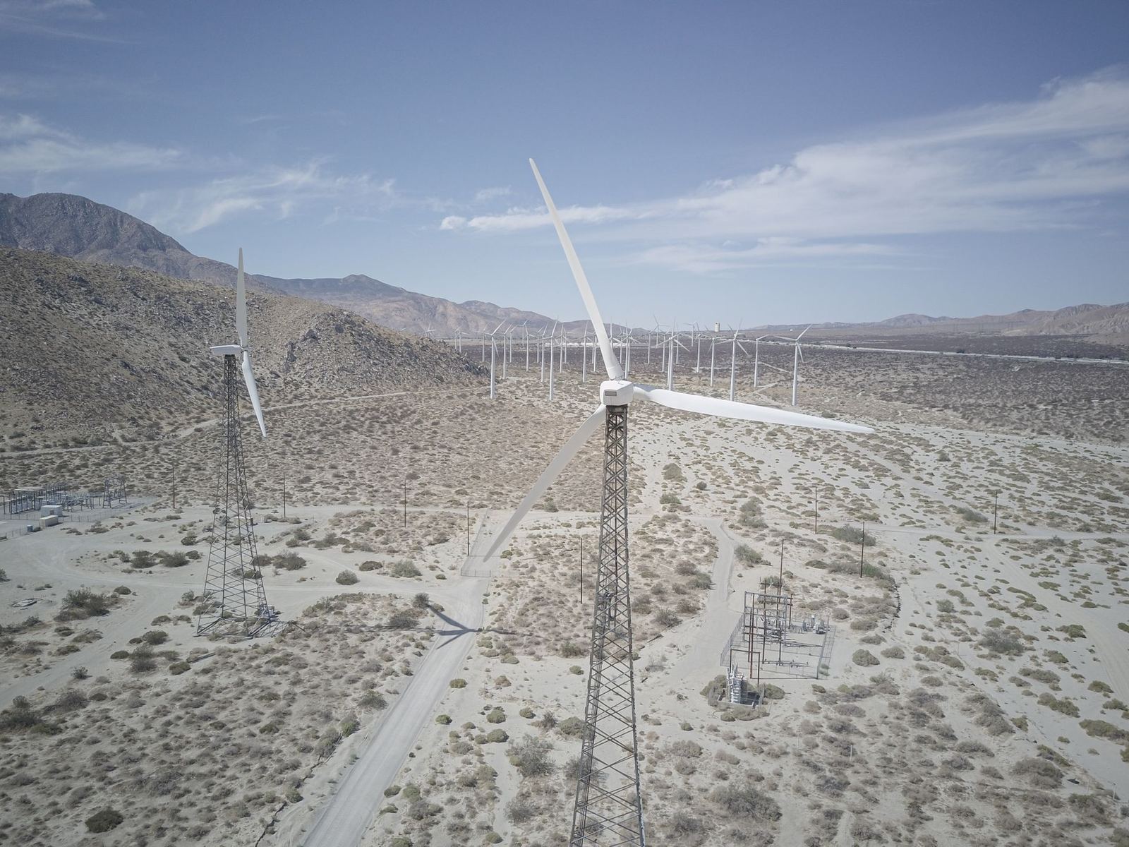
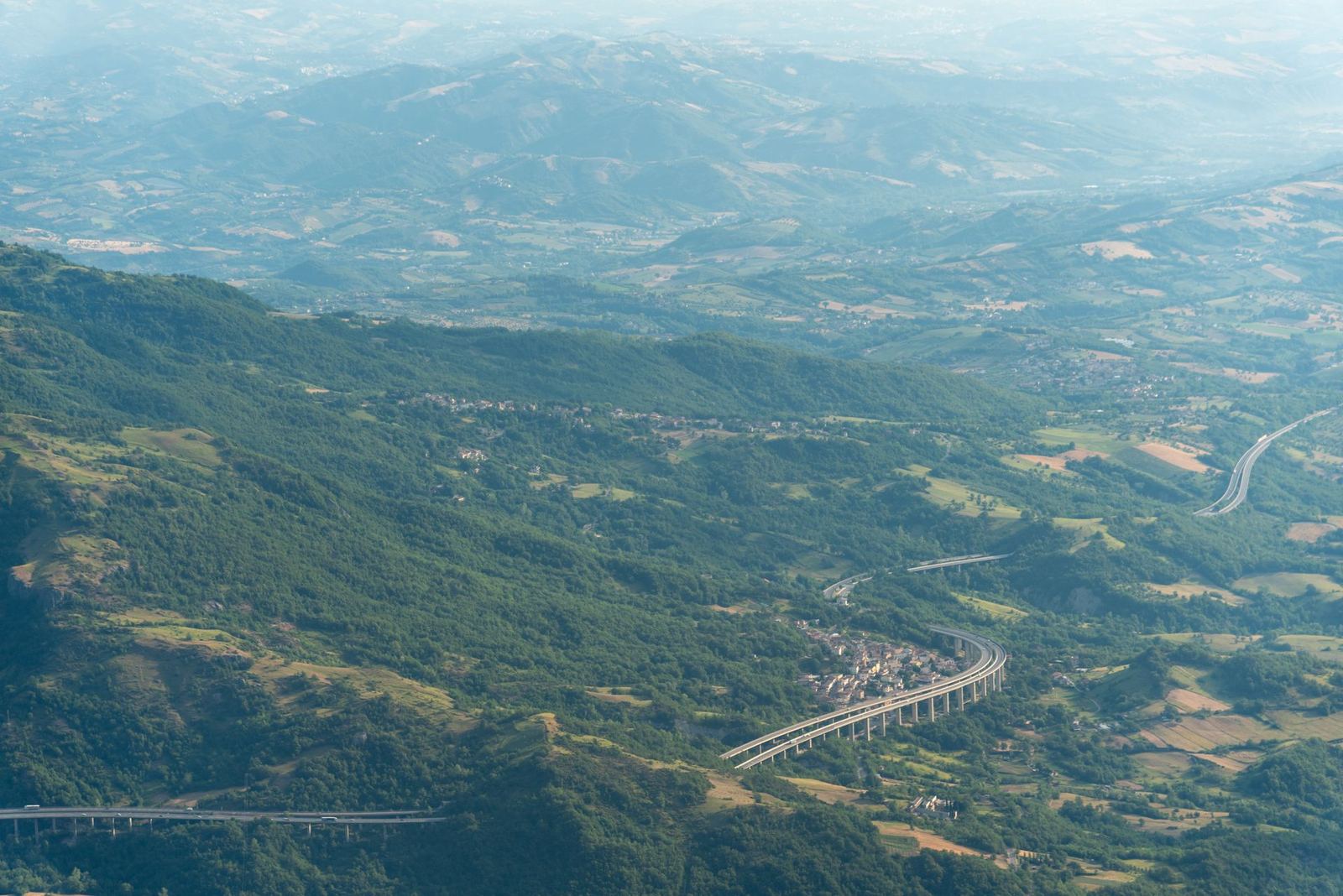
Orthophotos, digital surface models and plan outputs at 2–3 cm accuracy with RTK/PPK-equipped drones.
View DetailsLicensed UAS operator · Eskişehir, Türkiye
With RTK mapping drones, thermal and LiDAR sensors, spraying aircraft and cinema-grade cameras we produce data you can measure, archive and base decisions on.
About Kartalay
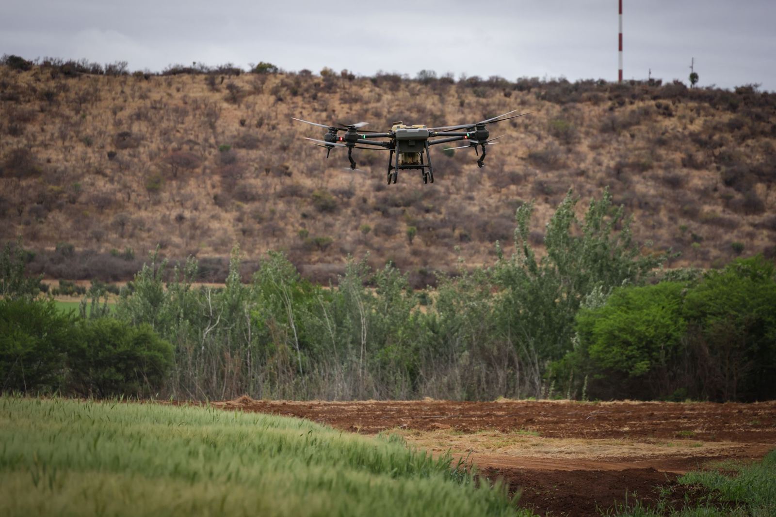
Founded in Eskişehir in 2017 by aviation and survey engineers. Every flight ends with a chain of planning, ground control, processing and a quality report, so the data you receive is a product you can load straight into CAD and GIS, not raw photos.
Aerial data services
Orthophotos, digital surface models and plan outputs at 2–3 cm accuracy with RTK/PPK-equipped drones.
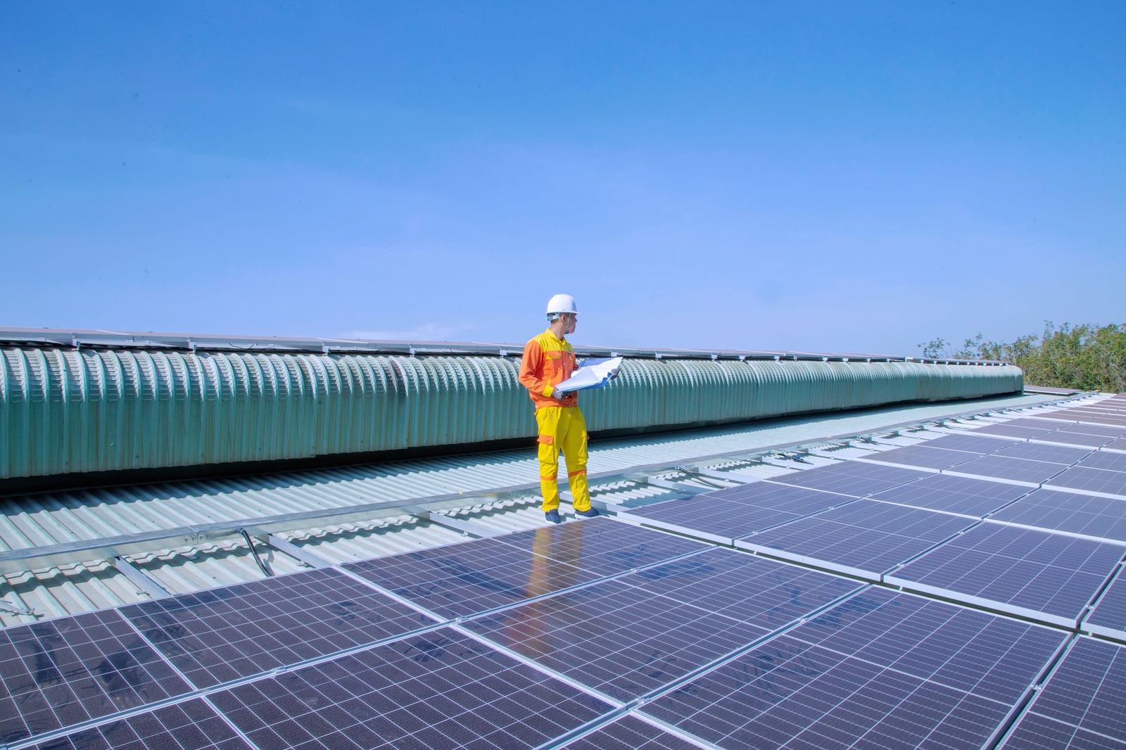
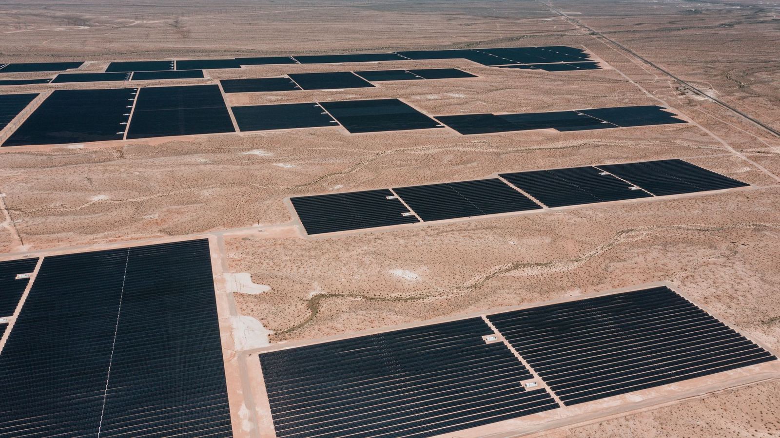
View DetailsFind solar hot spots, roof leaks and electrical panel faults with radiometric thermal cameras.
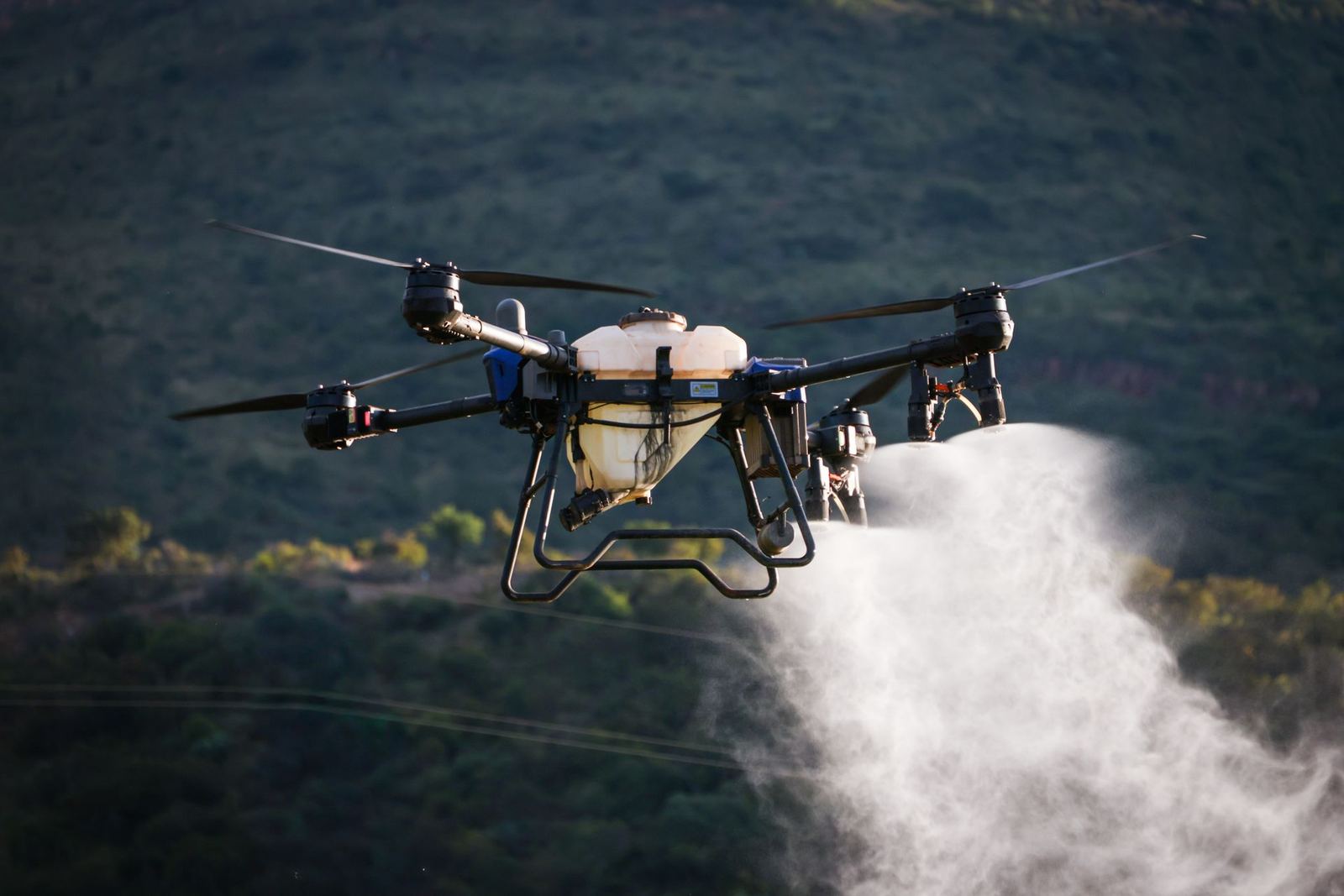
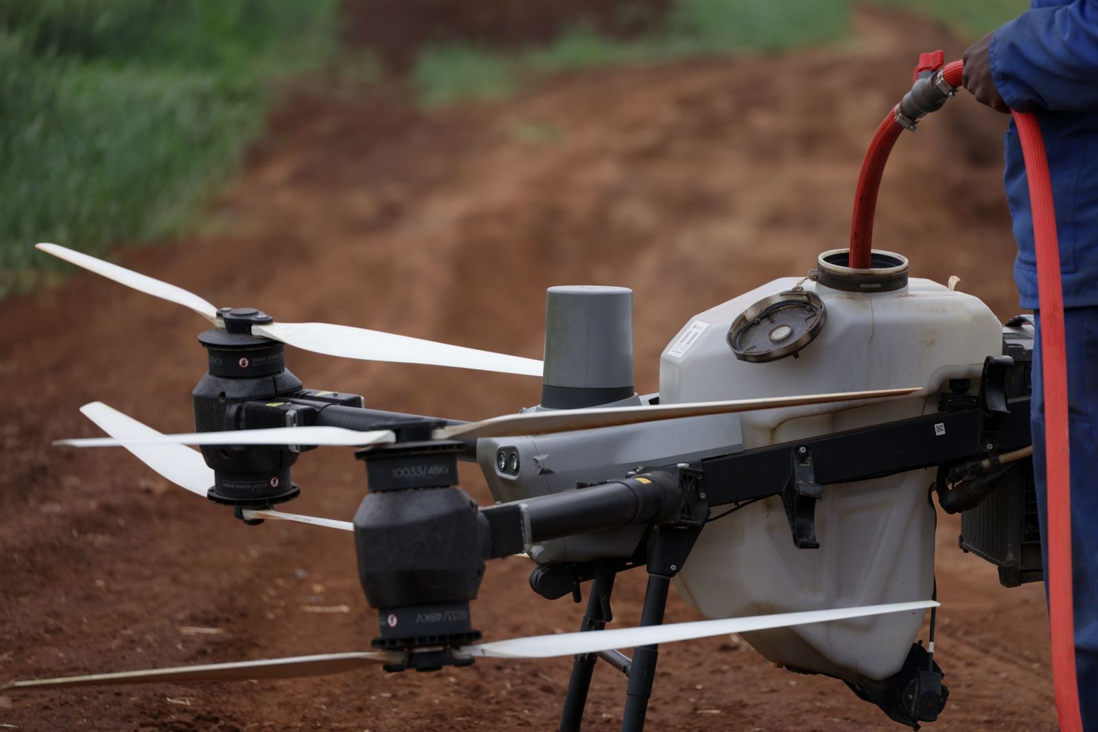
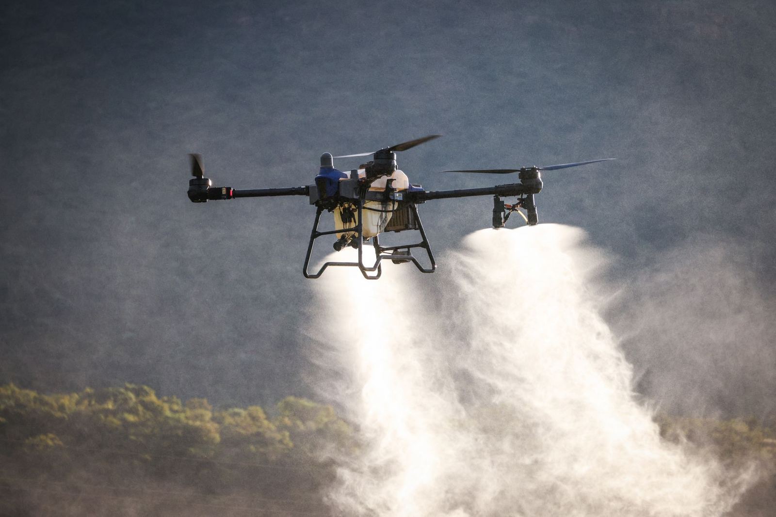
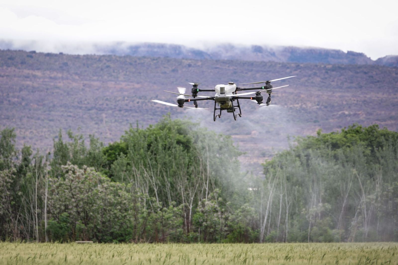
View DetailsSpraying and fertilising up to 100 decares an hour with registered products, plus NDVI-based prescription maps.
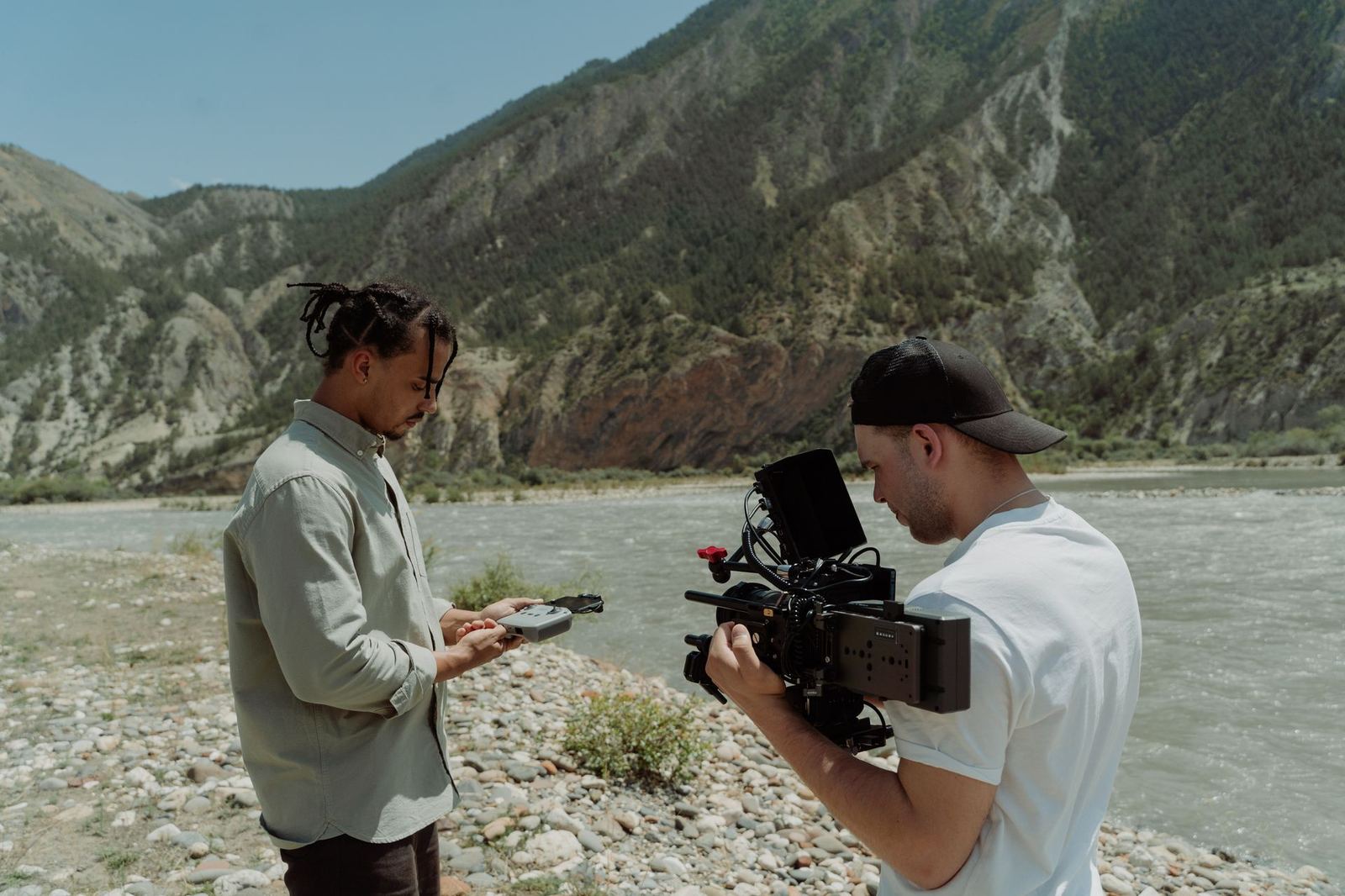
View DetailsA certified pilot and camera operator crew for commercials, drama, property marketing and event coverage.
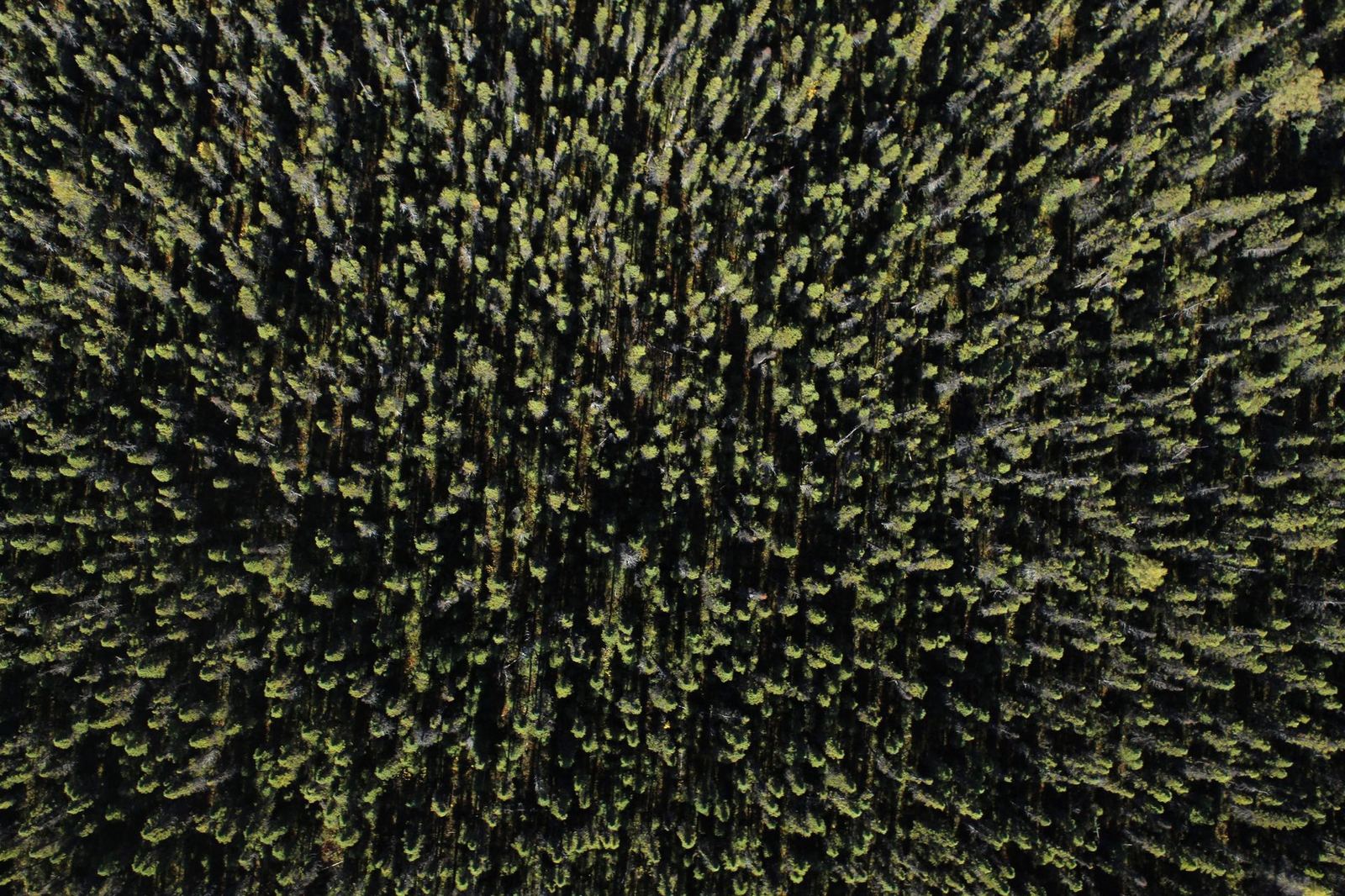
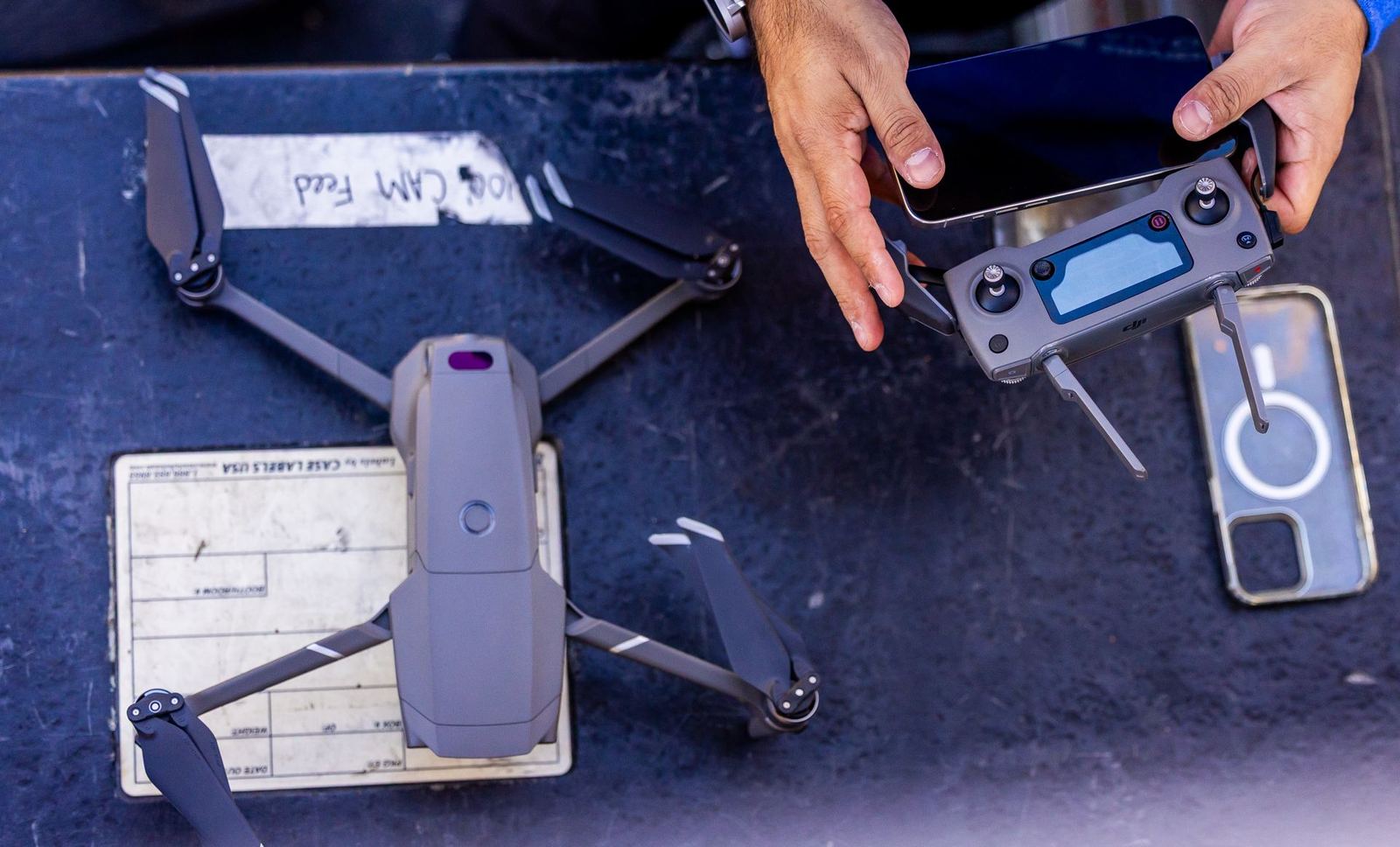
View Details32-channel LiDAR at 240k points/s: dense 3D data for forested terrain, power-line corridors and complex structures.
View DetailsClose-range zoom imaging and photogrammetry to inspect hard-to-reach structures for cracks, corrosion and damage.
View DetailsAircraft fleet
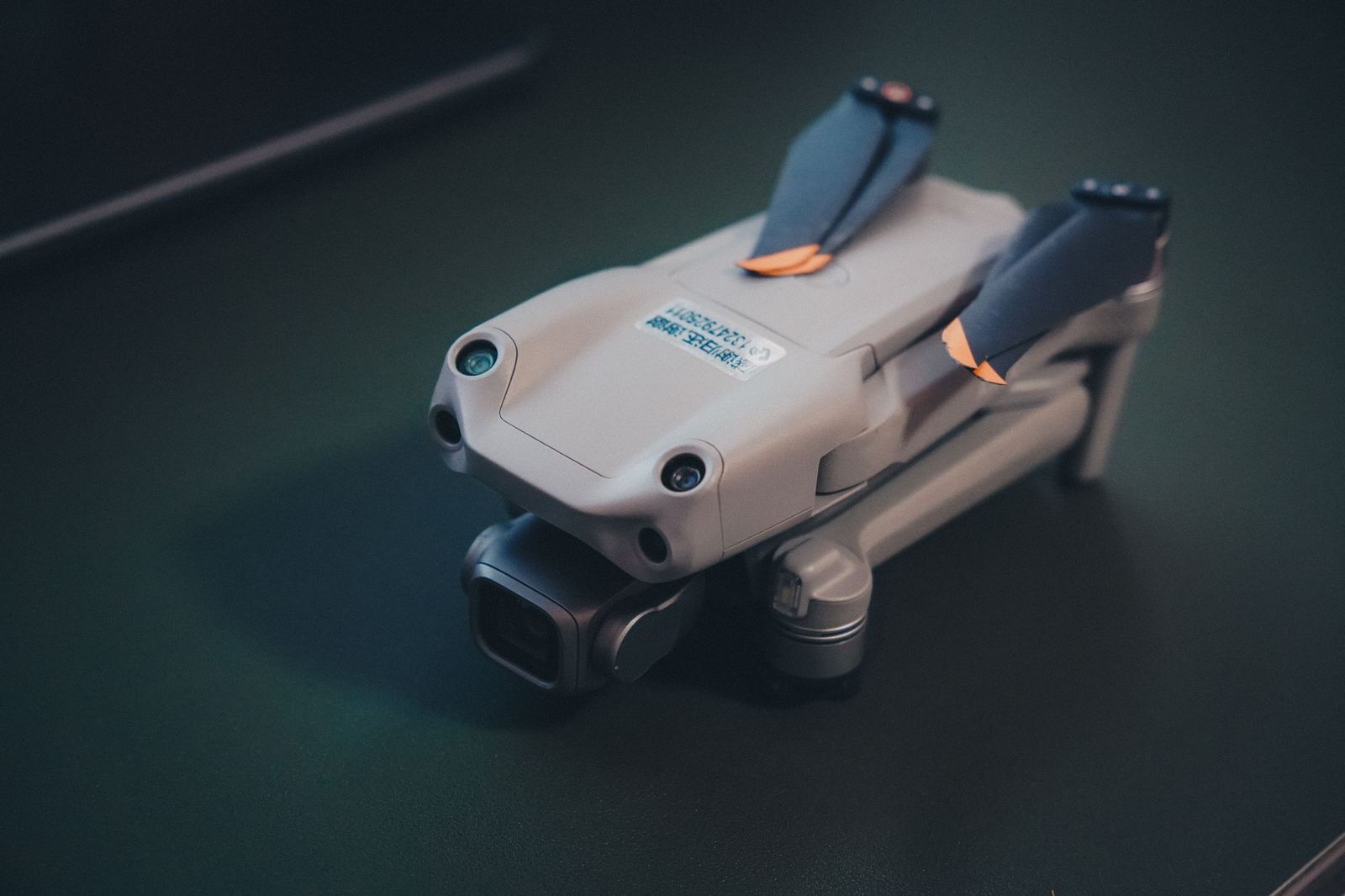
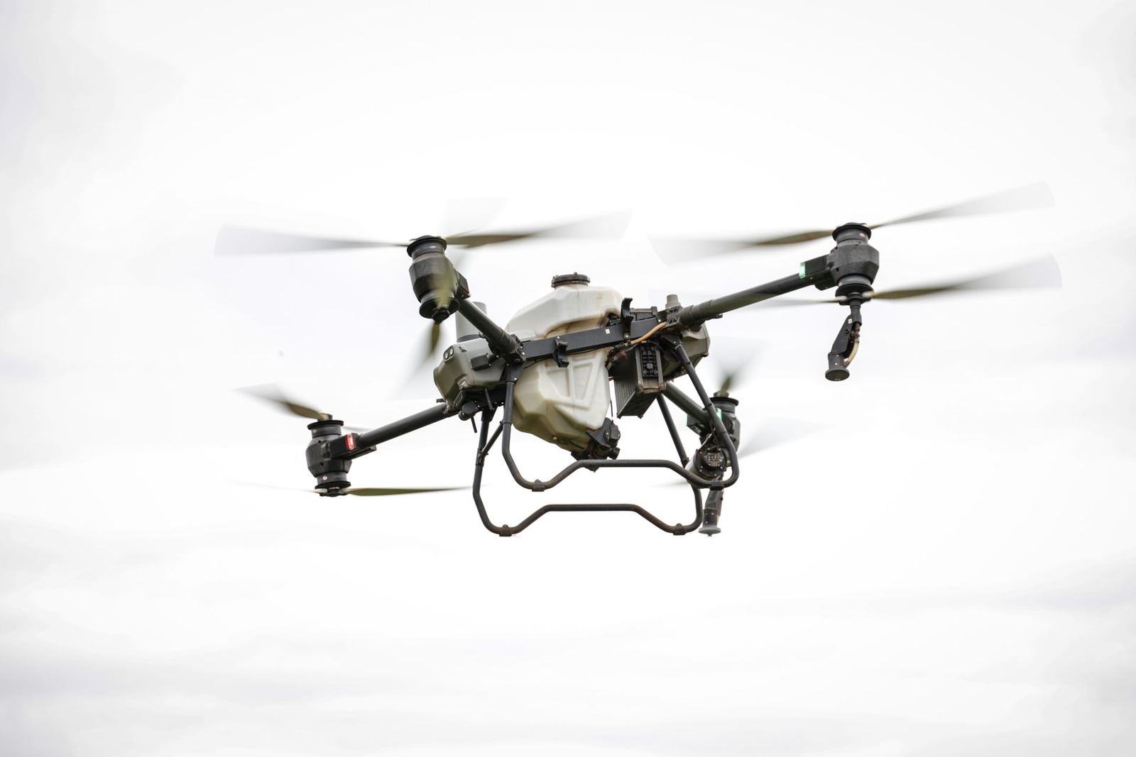
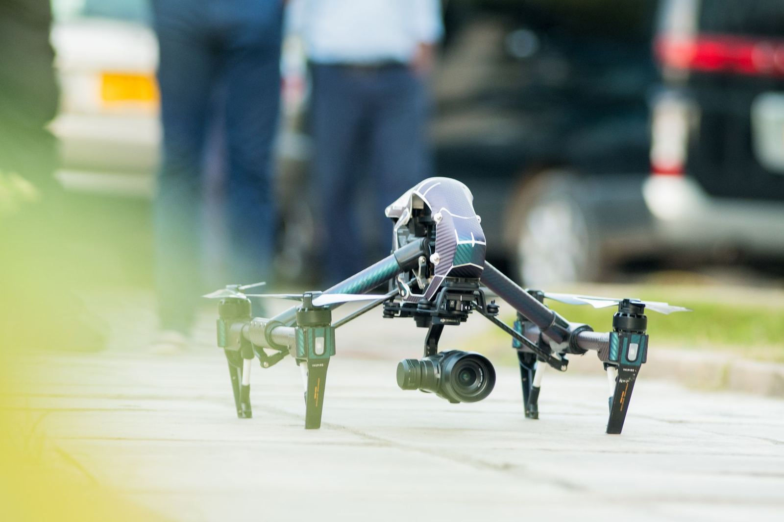
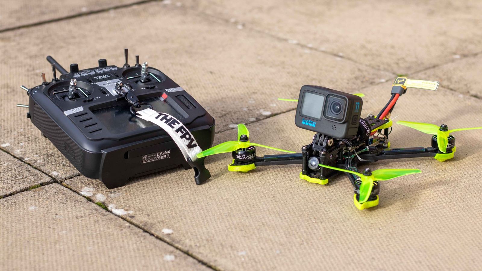
A different aircraft for every mission: the core models among our 22 aircraft, from mapping to agriculture and from thermal inspection to cinema filming.
Instant price
Enter the area in hectares and see an indicative mapping price and number of flight days based on product, resolution and terrain.
From flight to delivery
We define the need, accuracy target and airspace conditions together.
Control points are set and data is captured on an automated flight plan.
Photogrammetry/LiDAR processing, error analysis and quality control.
Data, report and viewer portal, with post-delivery technical support.
Results from the field
Thermal scan of 248,000 modules at a 120 MW plant in Karapınar completed in three days.
View DetailsOrthophoto, DTM and building vectors for an industrial-zone expansion; 2.4 cm horizontal RMSE.
View DetailsVariable-rate application across 62 cooperative parcels in 14 days with 28% water saving.
View DetailsEleven bridge piers and two viaducts on the Bolu crossing inspected without rope access.
View DetailsA 90-second promo film with golden-hour shots, an FPV indoor transition and 6K aerial footage.
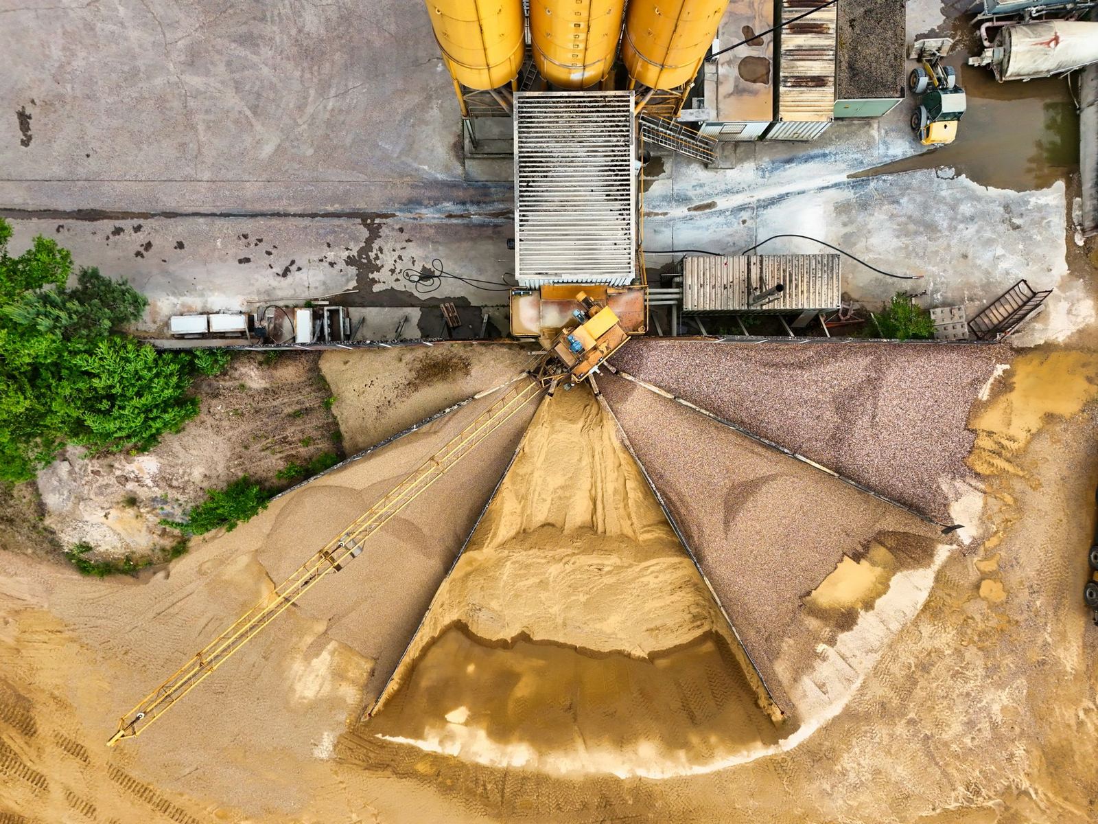
View DetailsMonthly measurement reports 14 stockpile volumes with ±0.8% precision.
View DetailsWhy Kartalay
We handle flight permits, airspace coordination and insurance.
Every mapping job is verified with independent check points.
Temperature-measurable thermal imagery, not just a colour palette.
Findings, coordinates, photos and recommended actions in a single PDF.
Crew and aircraft on site anywhere in Türkiye within 48 hours.
Encrypted storage, GDPR/KVKK-aligned processing and per-project access.
Clearly scoped, transparently priced packages — add to cart and start right away with secure payment.
Single location, half day
Sites up to 20 ha
Housing, hotel, land marketing
From field teams
They scanned our entire 120 MW plant thermally in three days. With the hot spot coordinates in the report our maintenance crew intervened the same week.
The orthophoto and DTM stayed within 3 cm of our check points. We loaded the outputs straight into our CAD environment without conversion.
They sprayed 4,800 decares of cotton in two weeks. Water and chemical savings were clear and our members were very pleased.
Sites we fly
Aerial notes
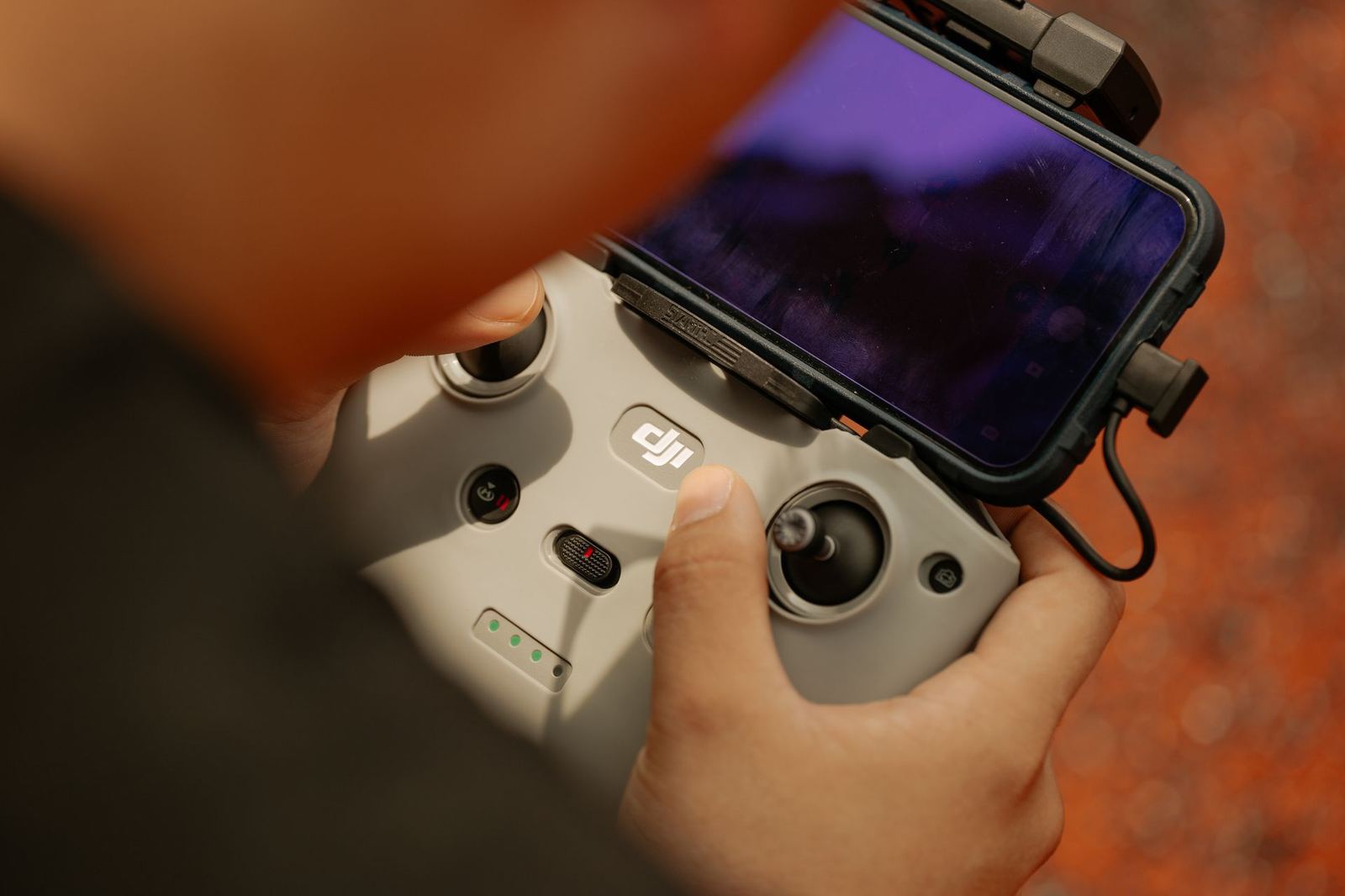 RegulationSHGM Processes for Commercial Drone Operations: What You Need to KnowWeight classes, registration, pilot certificates, insurance and permits: a short guide for organisations commissioning commercial UAS work or…
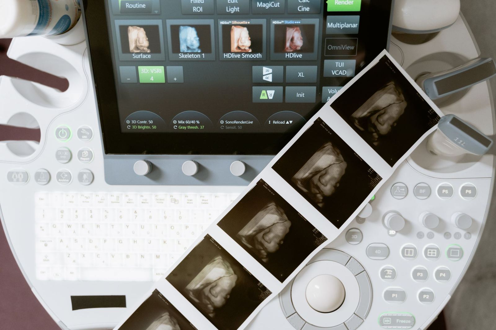 TechnologyOrthophoto or LiDAR? Which to Choose for Which Project
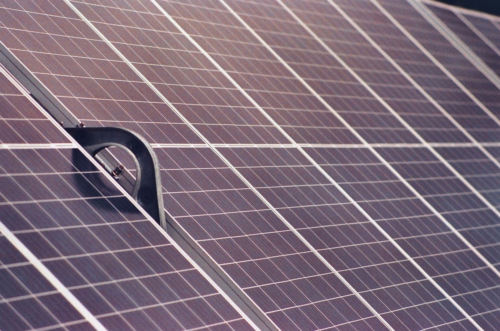 IndustryThermal Drone Inspection of Solar Plants: How Hot Spots Are Found and What They Save
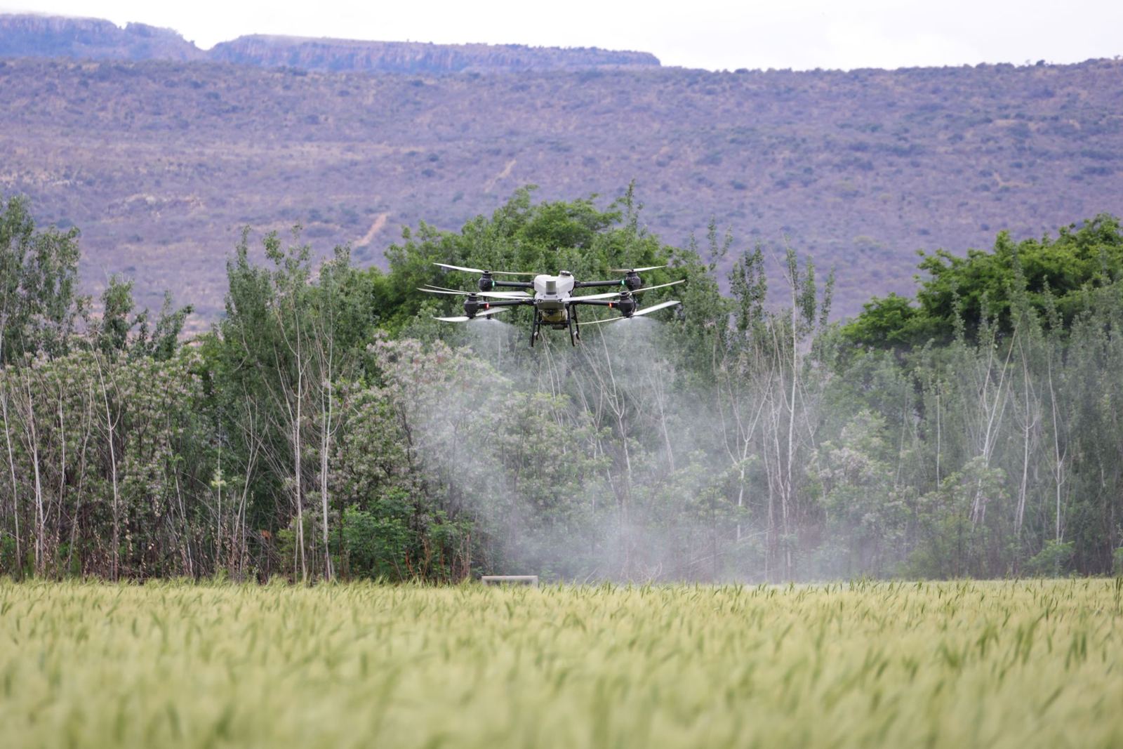 IndustryDrones in Agricultural Spraying: Cost, Yield and Points of Attention
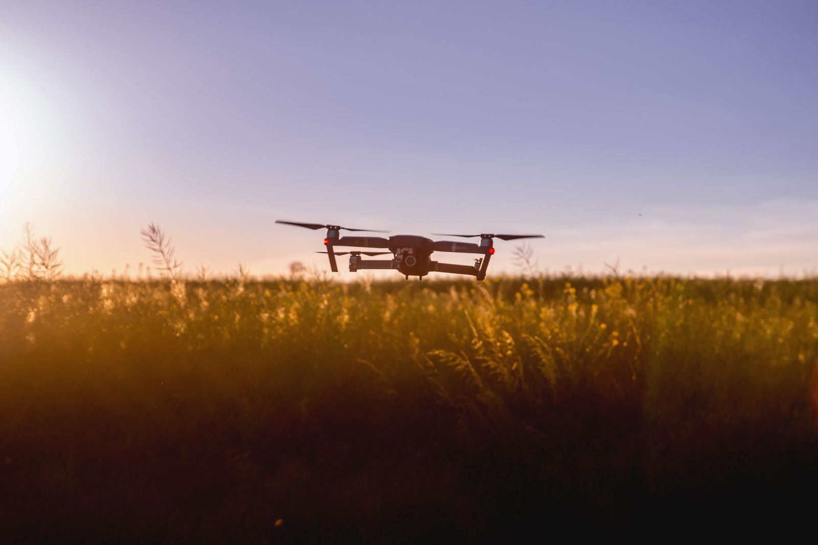
Share the area, objective and timeline and an engineer will return within 24 hours with scope and pricing.