
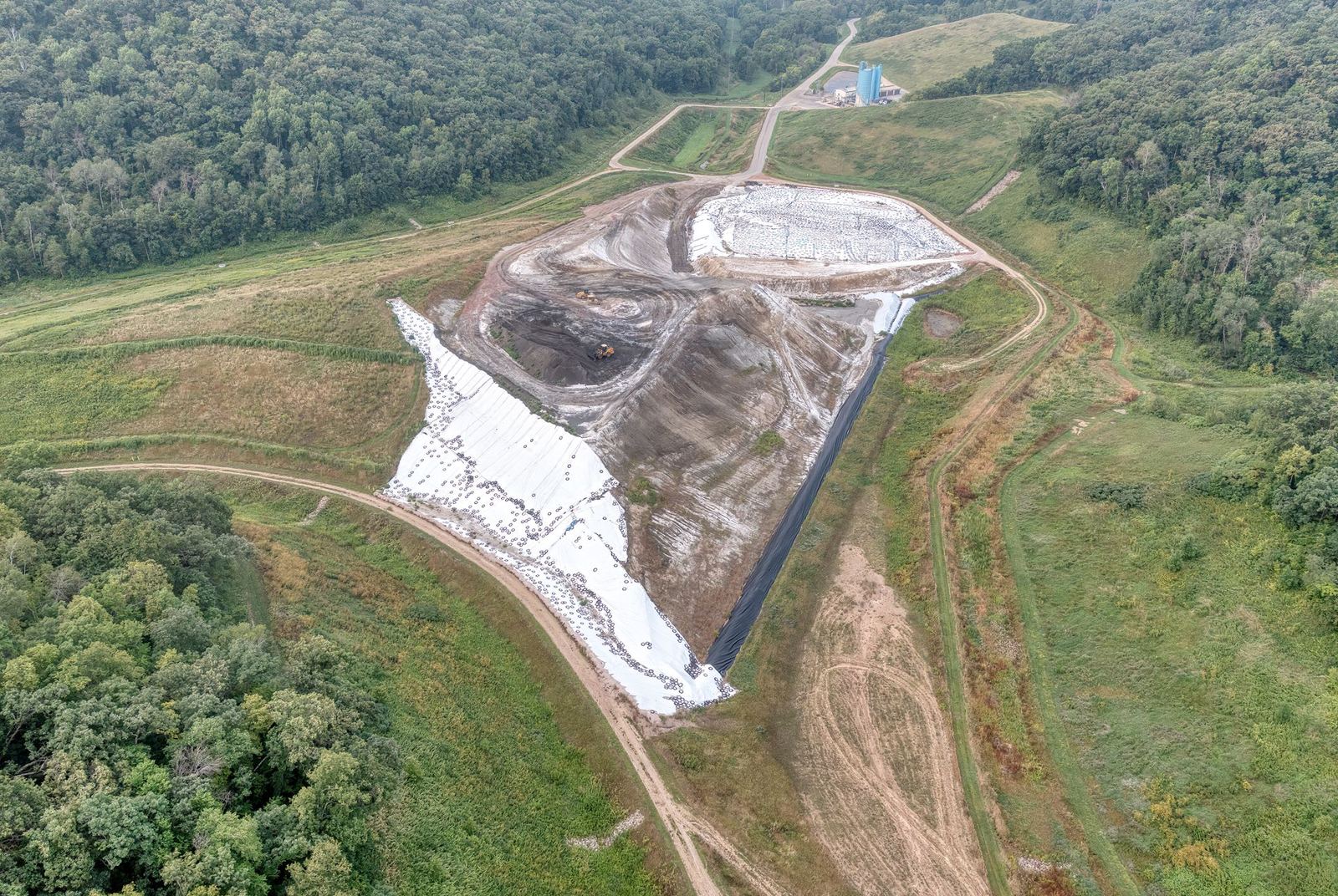
Orthophotos, digital surface models and plan outputs at 2–3 cm accuracy with RTK/PPK-equipped drones.
From 150 TRY per hectare
We produce maps 10–20 times faster than conventional topographic surveying, verified against independent check points. Typical uses are zoning implementation, cadastral updates, quarry and stockpile volumes, and irrigation and drainage design.
Deliverables
- Orthophoto (GeoTIFF) at 2, 3 or 5 cm/pixel
- DSM and DTM with contour lines
- Classified point cloud (LAS/LAZ)
- Building, road and parcel vectors (DXF/DWG/SHP)
- Accuracy report and check-point table
How it works
We take the site boundary, prepare the flight plan, measure ground control points with GNSS and capture data with 75–80% overlap. After processing, products are delivered in ITRF96 or your required projection.
Pricing
The price depends on area size, target resolution, terrain and turnaround. Volume discounts apply to projects above 1,000 hectares. Use the calculator on this site to see an indicative amount instantly.
Scope of service
- 2–3 cm horizontal accuracy (RTK/PPK)
- ITRF96 / UTM projection
- CAD and GIS compatible outputs
- Accuracy report included
Mapping & Photogrammetry — get a quote
Fill in the form and we will get back to you as soon as possible.