

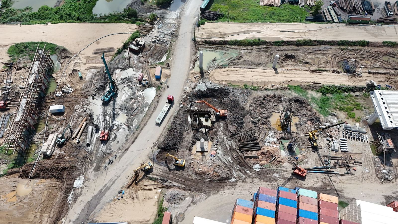
We fly your site on the same route every month to deliver cut-and-fill volumes, progress percentages and plan comparisons.
From 7,500 TRY per month
Tracking progress on large sites by eye or spreadsheet leaves a lot of room for error. Monthly drone flights create one shared truth for investors, contractors and auditors.
What we provide
- Cut-and-fill volumes (m³) for payment certificates, and stockpile measurement
- Current orthophoto with a timeline against previous periods
- Planned-versus-actual comparison against BIM/CAD models
- A management-ready progress video
Why a drone?
A one-hectare site is scanned in 15 minutes; volume calculations rely on far more data points than conventional spot surveys. Reports can be attached to payment certificates.
Pricing
Monthly subscriptions depend on site size and report scope. See the inspection subscriptions on the packages page for our plans.
Scope of service
- Cut-and-fill volume report
- Fixed-route monthly flight
- Planned vs actual comparison
- Progress video
Construction Progress Monitoring — get a quote
Fill in the form and we will get back to you as soon as possible.
Frequently asked questions
Which permits are required for commercial drone flights?
Depending on weight and operation type you need SHGM UAS registration, a pilot certificate, operator authorisation and liability insurance. Additional coordination applies in military restricted areas and urban zones. Kartalay handles the entire process; you only share the site information.
How accurate is the mapping?
With RTK/PPK and ground control points we target 2–3 cm horizontal and 3–5 cm vertical RMSE. Achieved values are measured against independent check points and reported on every project.
How many hectares can you map in a day?
With the KS-2 fixed wing we capture 450–600 hectares a day; multirotors deliver 150–250 hectares of orthophoto. Terrain, wind and target resolution affect this.
How does weather affect flights?
Rain, wind above 10 m/s and poor visibility stop flights. Thermal jobs need clear sunny hours, spraying needs low wind. No extra fee is charged for flights postponed because of weather.
What faults can thermal inspection detect?
We detect hot spots, partial shading, bypass diode failures, loose connections, soiling and insulation losses. Each finding is listed with GPS coordinates, temperature delta and a recommended action.