
01Orthophoto, DSM/DTM and vector deliverables
Mapping & Photogrammetry
Orthophotos, digital surface models and plan outputs at 2–3 cm accuracy with RTK/PPK-equipped drones.
View DetailsThe services we offer with our expert team and experience
Orthophotos, digital surface models and plan outputs at 2–3 cm accuracy with RTK/PPK-equipped drones.
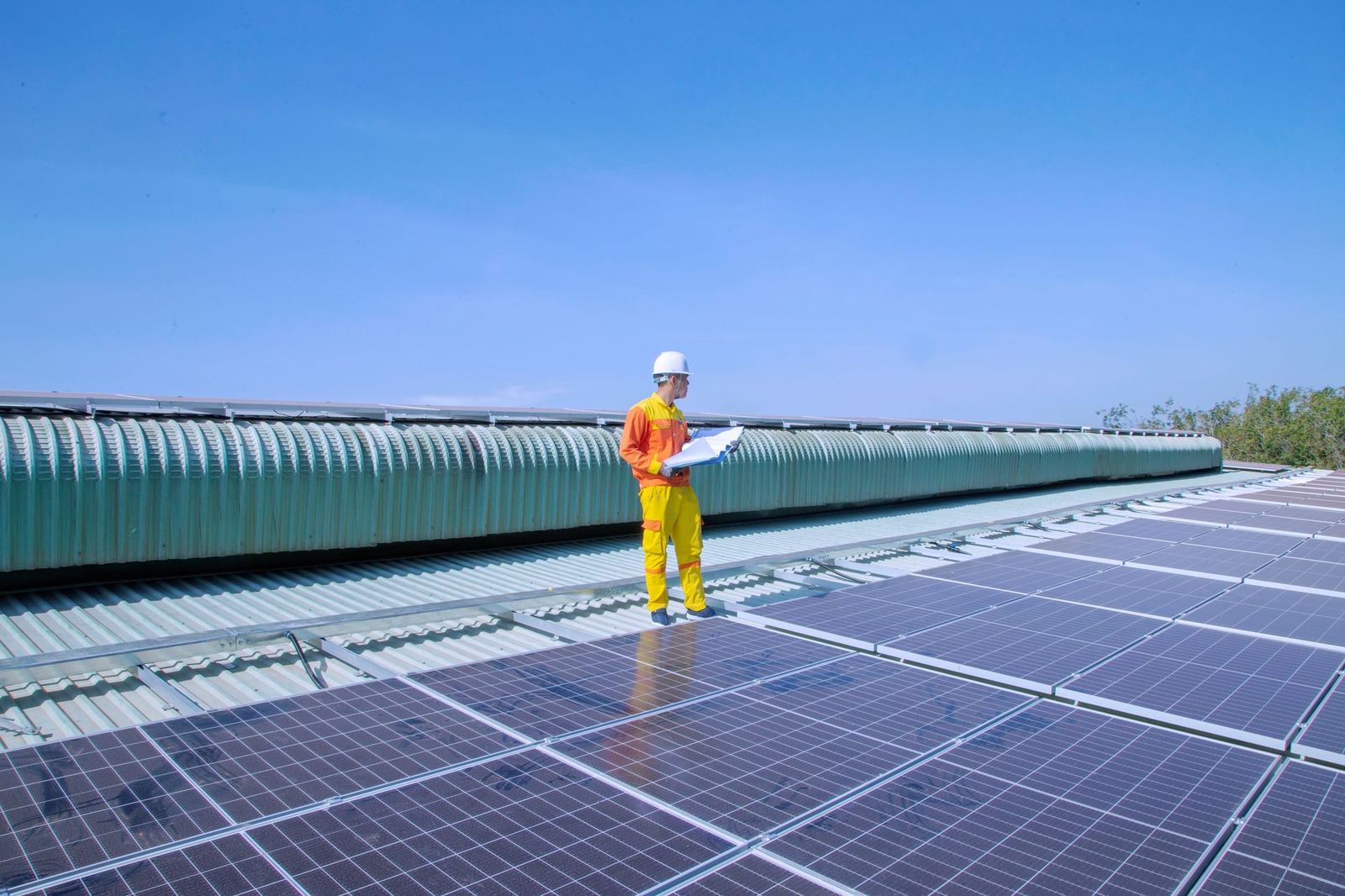
View DetailsFind solar hot spots, roof leaks and electrical panel faults with radiometric thermal cameras.
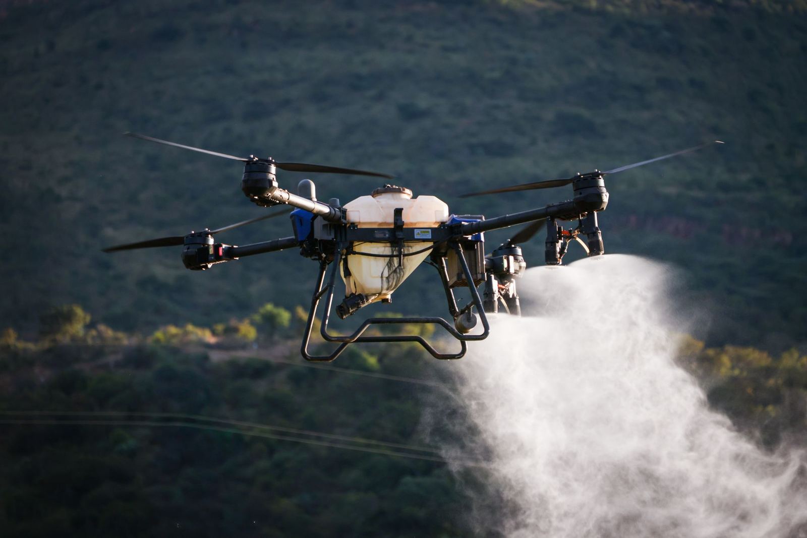
View DetailsSpraying and fertilising up to 100 decares an hour with registered products, plus NDVI-based prescription maps.
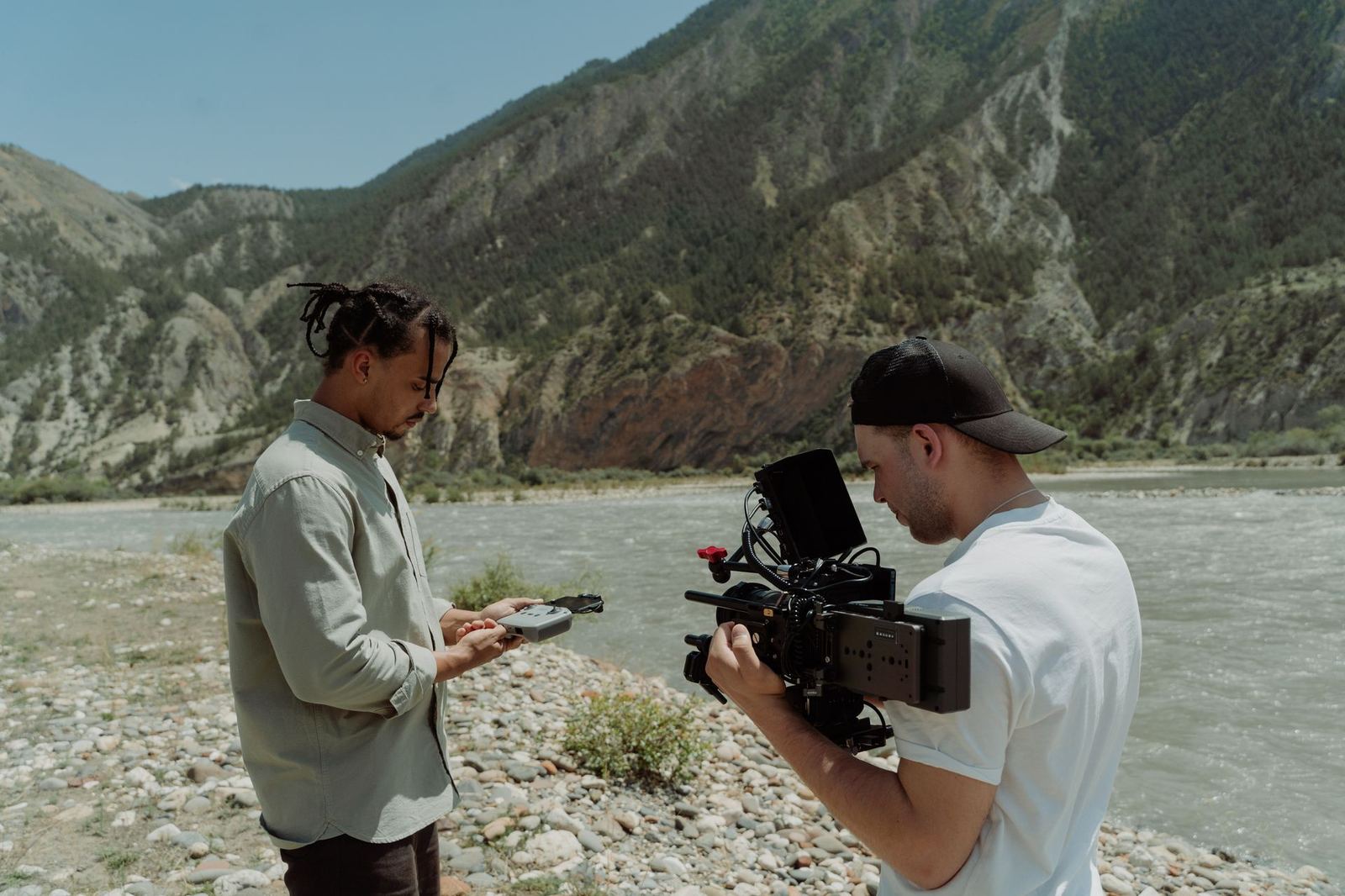
View DetailsA certified pilot and camera operator crew for commercials, drama, property marketing and event coverage.
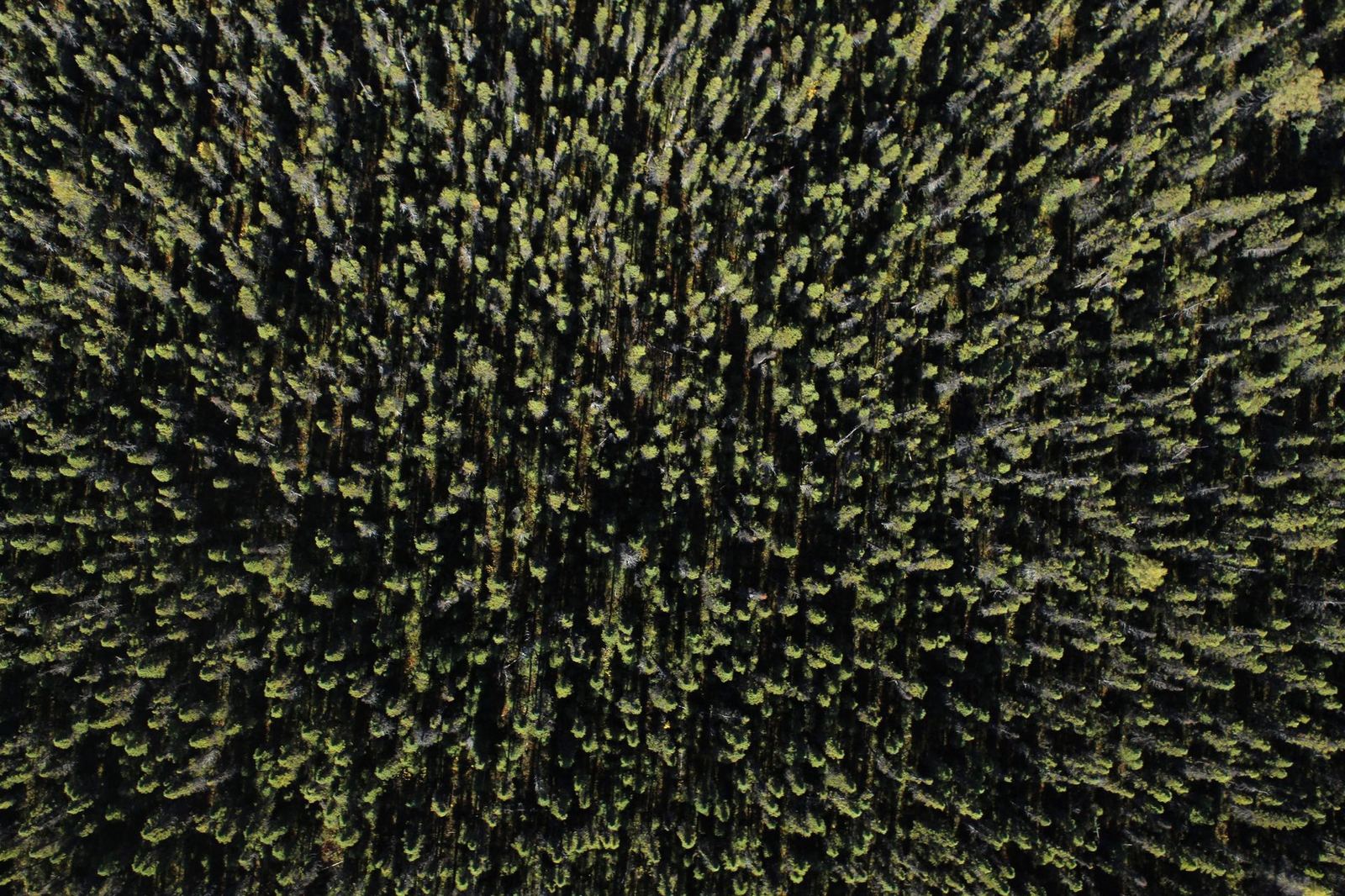
View Details32-channel LiDAR at 240k points/s: dense 3D data for forested terrain, power-line corridors and complex structures.
View DetailsClose-range zoom imaging and photogrammetry to inspect hard-to-reach structures for cracks, corrosion and damage.
View DetailsWe fly your site on the same route every month to deliver cut-and-fill volumes, progress percentages and plan comparisons.
View DetailsShare the area, objective and timeline and an engineer will return within 24 hours with scope and pricing.