
KR-4 Mini Map
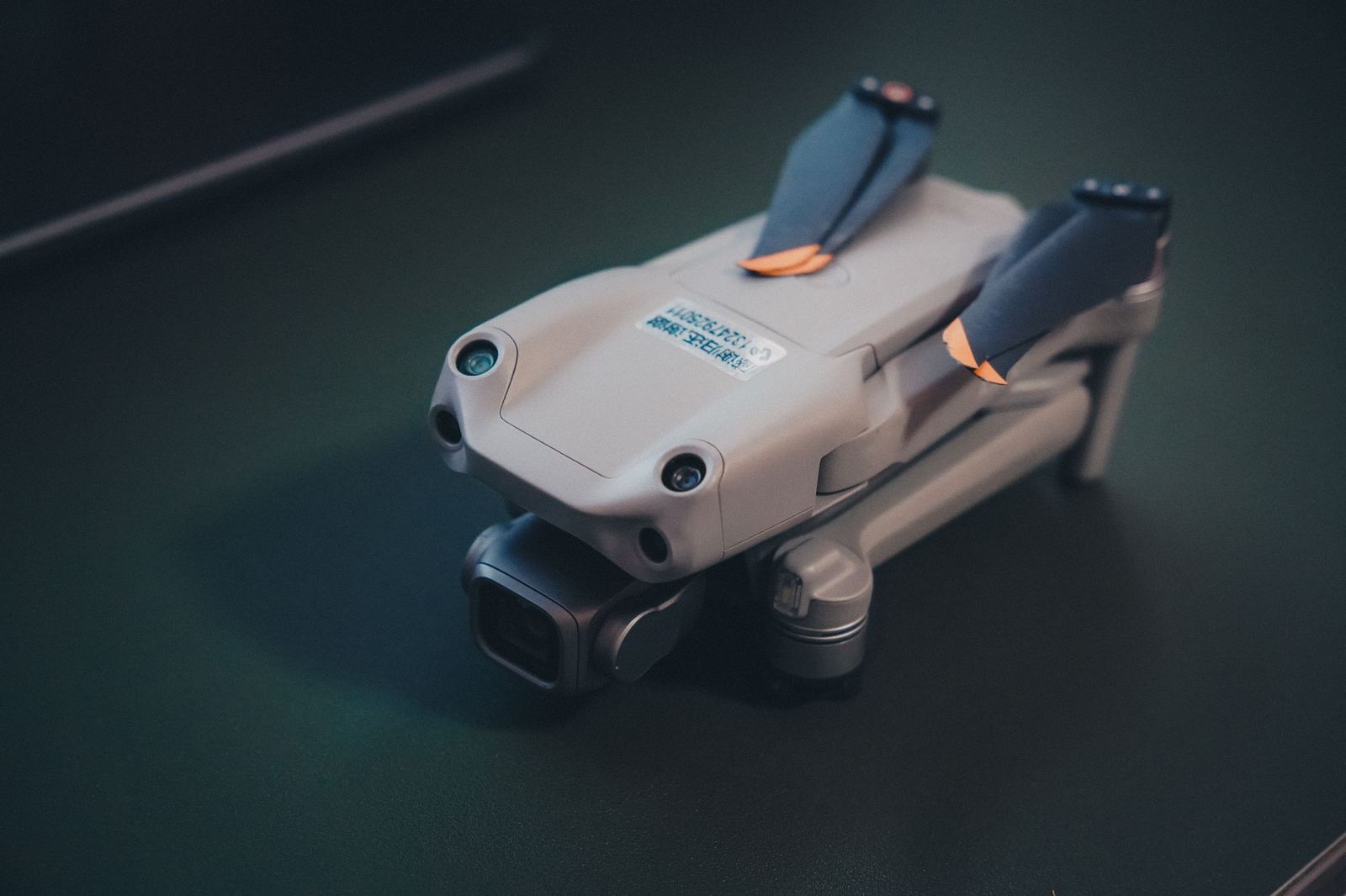
Light-class RTK mapping aircraft: 20 MP 1-inch mechanical-shutter camera, 38 minutes of flight.
- Aircraft type
- Multirotor
- Flight time
- 38 min
- Operating range
- 8 km
- Sensor
- 20 MP 1-inch mechanical shutter
A different aircraft for every mission: the core models among our 22 aircraft, from mapping to agriculture and from thermal inspection to cinema filming.
Light-class RTK mapping aircraft: 20 MP 1-inch mechanical-shutter camera, 38 minutes of flight.
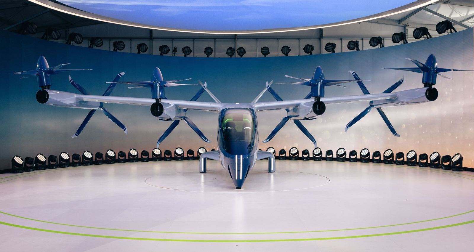
VTOL fixed wing: vertical take-off with 3 hours of flight, 60 km data link, BVLOS-ready.
Eight-rotor LiDAR platform: 32 channels, 240k points/s, 42 minutes of flight.
Share the area, objective and timeline and an engineer will return within 24 hours with scope and pricing.