
KR-4 Mini Map
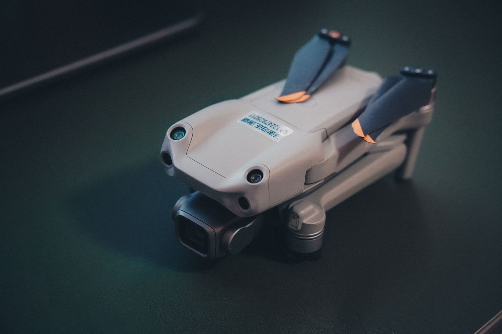
Light-class RTK mapping aircraft: 20 MP 1-inch mechanical-shutter camera, 38 minutes of flight.
- Aircraft type
- Multirotor
- Flight time
- 38 min
- Operating range
- 8 km
- Sensor
- 20 MP 1-inch mechanical shutter
Eight-rotor LiDAR platform: 32 channels, 240k points/s, 42 minutes of flight.
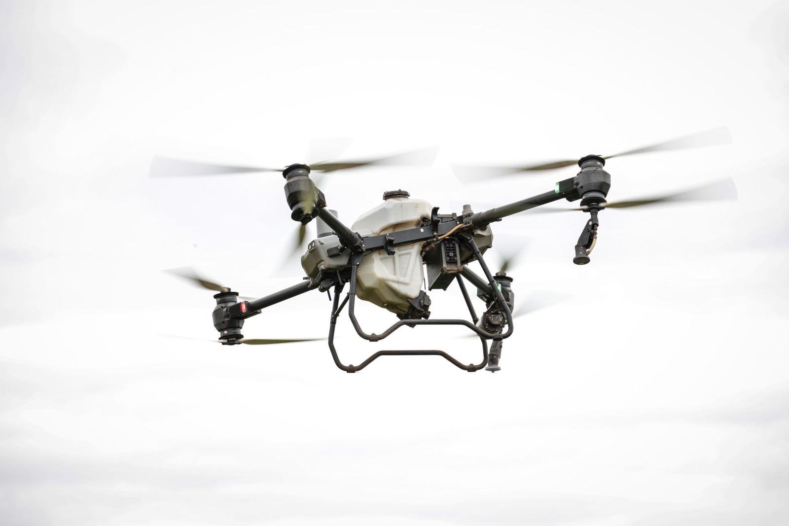
The KX-8 was designed for projects that must see the ground beneath vegetation. The integrated GNSS/IMU produces the point cloud directly in geographic coordinates, shortening ground-control time considerably.
Power transmission lines, forests, road and rail corridors, mining sites. Three returns per pulse find ground points even in dense vegetation.
The simultaneously captured 26 MP RGB imagery colourises the point cloud.
| Take-off weight | 13,8 kg |
|---|---|
| Point rate | 240.000 nokta/sn |
| Range | 150 m |
| Absolute accuracy | yatay 3 cm / düşey 5 cm |
| Wind resistance | 12 m/sn |
Light-class RTK mapping aircraft: 20 MP 1-inch mechanical-shutter camera, 38 minutes of flight.
VTOL fixed wing: vertical take-off with 3 hours of flight, 60 km data link, BVLOS-ready.